How to find the accommodation
Apartment « Le Triôlèt »
Route de Lavachet
73320 Tignes
France
(Opposite the restaurant ‘Le Bouchon chez Pat’)
GPS coordordinates for the apartment : 45.472058, 6.913290
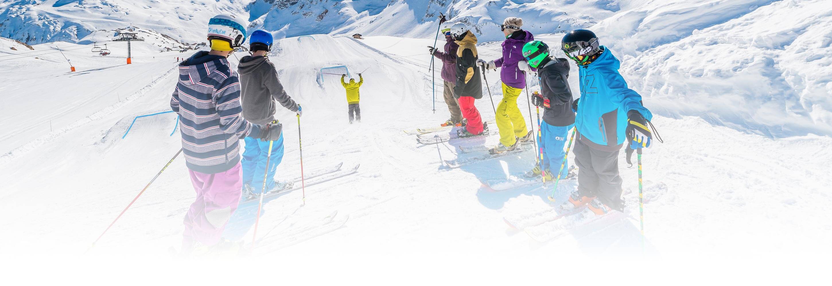
Getting to Tignes
By road
A430 to Albertville, then Moûtiers, Bourg Saint Maurice and Tignes Lavachet.
Motorway
- Paris (704 km)
- Lyon (239 km)
- Grenoble (163 km)
By train
Rail station: Bourg Saint Maurice and bus to Tignes Lac (T15 line – from 06.45 to 21.15 in winter)
By air
Airport :
- Geneva (transfers via website altibus.com also AlpSkibus weekdays and weekend)
- Lyon (Altibus.com transfers Fridays, Saturdays and Sunday)
- Chambéry (Altibus.com two transfers on Saturdays and one on Sundays, length of the trip approx. 3hrs 30 minutes)
Book tickets before departure on the website altibus.com.
Car rental is also available at the rail stations and airports.
Alpine Taxis Tignes
- +33 (0)6 13 18 07 57
- tignestaxi@gmail.com
- www.alpinetaxistignes.com